Now I’m beginning to get a handle on this hobby, I need to know where I can fly my rc plane and my drone – is it just in my backyard, or can I go further afield? I set out what I found below – read before you fly!
You can fly your rc plane or drone anywhere below 400 ft, so long as you’re not near an airport, a crowd of people or other sensitive areas, and you’re not infringing local laws. You can’t fly in National Parks, but you can fly in National Forests. The Federal Air Administration (FAA) publishes a set of national rules, and it’s best to check local laws where you intend to fly.
So, where can you fly Remote Control Planes and Drones in the US? Your best bet is to fly at a club site or on private land but the National rules and local laws may still take precedence. You can also fly your rc plane or drone indoors at specific locations, such as gyms or school halls. Read on below to keep the right side of the law.
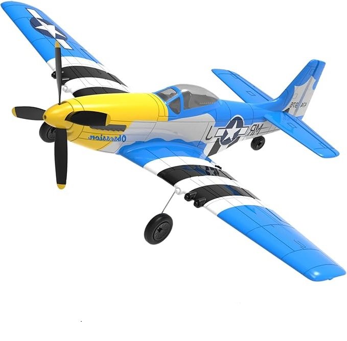
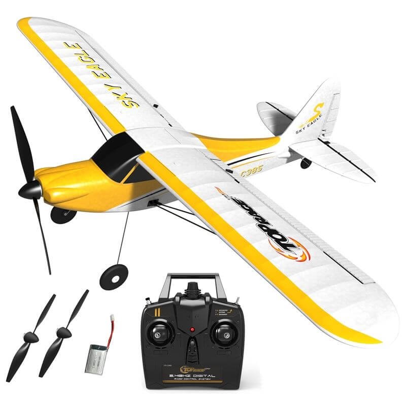
Just starting out with RC Planes? Take a look at the latest recommended RTF (ready to fly) and easy-to-fly RC Planes, which will make getting into the air easy peasy and cheap – here.
National Rules
The Federal Aviation Administration oversees all aviation activity in the US, including model aircraft and drones. They have published rules and guidelines for operators of these “small unmanned aircraft (SUA’s), which are summarised below.
Operators of SUA’s for commercial purposes must follow the “Part 107 rules”. A fuller explanation of this can be found in this article, here.
If you fly for pleasure, and follow the 8 rules set out by the FAA, you won’t have to follow the stricter regulations in part 107, which are essentially for commercial operators.
The Rules cover where you can fly your rc plane or drone in general.
The 8 Rules for Recreational Flyers
The eight rules for recreational flyers are:
- The aircraft is flown strictly for recreational purposes.
- The aircraft is operated in accordance with or within the programming of a community-based organization’s (CBO) set of safety guidelines that are developed in coordination with the FAA.
- At the time of writing this article, the FAA had not developed a set of safety guidelines with a CBO, so it referred flyers to its own guidelines, which are based on “industry best practice”:
- Fly only for recreational purposes
- Keep your unmanned aircraft within your visual line-of-sight or within the visual line of sight of a visual observer who is co-located and in direct communication with you
- Do not fly above 400 feet in uncontrolled (Class G) airspace
- Do not fly in controlled airspace (for definition see below) without an FAA authorization.
- Controlled airspace is typically found within 5 miles of an airport with air traffic control towers. However, keep it mind that there are some airports in controlled airspace that don’t have control towers.
- Controlled and uncontrolled airspace locations can be found on the FAA’s UAS Facility Map (see reference 1 at the end of this article).
- Follow all FAA airspace restrictions, including special security instructions and temporary flight restrictions
- Never fly near other aircraft
- Always give way to all other aircraft
- Never fly over groups of people, public events, or stadiums full of people
- Never fly near emergency response activities
- Never fly under the influence of drugs or alcohol
- At the time of writing this article, the FAA had not developed a set of safety guidelines with a CBO, so it referred flyers to its own guidelines, which are based on “industry best practice”:
- The aircraft is flown within the visual line of sight of the person operating the aircraft. A visual observer is required for first-person view (FPV) operations.
- The aircraft is operated in a manner that does not interfere with and gives way to any manned aircraft.
- In (controlled airspace) the operator obtains prior authorization from the Administrator or designee before operating and complies with all airspace restrictions and prohibitions. At the time of writing, you may fly in controlled airspace only at authorized fixed sites. The list of authorized fixed sites is available on the FAA’s website and can be downloaded here (XL sheet).
- In (uncontrolled) airspace, the aircraft is flown from the surface to not more than 400 feet above ground level.
- The operator has passed an aeronautical knowledge and safety test and maintains proof of test passage. The FAA currently is developing an aeronautical knowledge and safety test with a view to introducing it in 2020. More about this below.
- The aircraft is registered and marked. More about this here.
Temporary Flight Restrictions
Temporary Flight Restrictions (TFRs) happen all over the country for all sorts of reasons, and they are just what they sound like: a temporary restriction on flying over a certain area. They could be for wildfires, or large events, or VIPs. When the President of the US travels, there is usually a 30 mile radius TFR put up around the area.
These TFRs almost always include “no RC airplanes” as a restriction. So the President visits a city 25 miles away, you fly your RC airplane in your backyard, and you’re technically breaking federal law.
The FAA Mobile App
The FAA and Kittyhawk have developed a mobile App for recreational model flyers and drone pilots, called B4UFLY, which is designed to provide:
- A clear “status” indicator that informs the operator whether it is safe to fly or not. (For example, it shows flying in the Special Flight Rules Area around Washington, D.C. is prohibited.)
- Informative, interactive maps with filtering options.
- Information about controlled airspace, special use airspace, critical infrastructure, airports, national parks, military training routes and temporary flight restrictions.
- The ability to check whether it is safe to fly in different locations by searching for a location or moving the location pin.
- Links to other FAA drone resources and regulatory information.
Users can interact with the map to easily find nearby areas that are safe to fly at any point in time according to their location. What’s more, the app is regularly updated as FAA rules and guidance change.
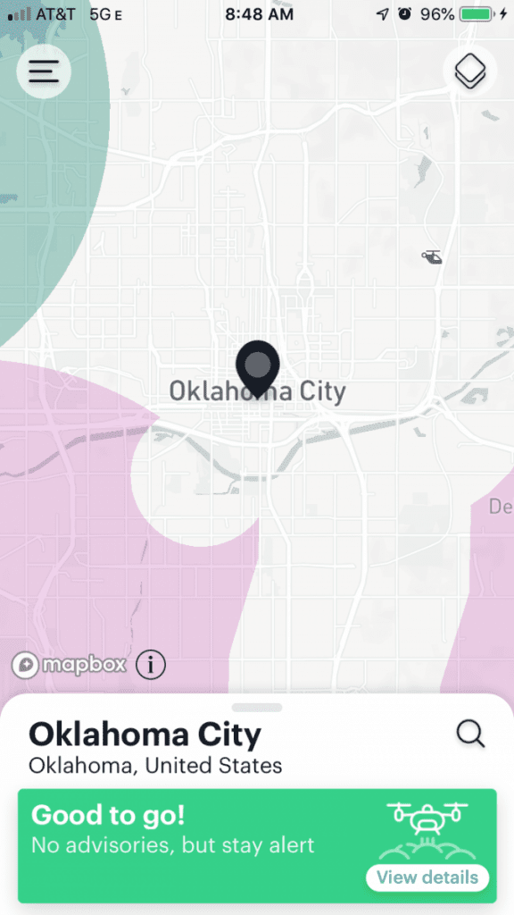
The B4UFLY app showing that you are in an area where you can fly.
Image courtesy of the FAA.

A screenshot of the B4UFly app showing you’re in a location where you can’t fly.
Image courtesy of the FAA
It seems to have a mixed response amongst users, but here’s one enthusiast:
“So much easier for the casual flyer! It’s now a lot easier to tell whether I’m in controlled airspace or not when trying to fly my drone. Don’t want to break any rules! You can also get easy LAANC authorizations through Kittyhawk if you need to fly near an airport (even as a hobbyist or recreational user). Way to go, Kittyhawk!!!
– Review from user KTDrones, 07/31/2019 “
LAANC is the FAA’s Low Altitude Authorization and Notification Capability, and is most often used by commercial drone pilots.
For more information, click Link 2 at the end of this article.
Other Useful Apps
2 other mobile apps which provide inormation on where you can fly, are Hover (see Link 7 below), and UAV Forecast (see Link 8 below)
Local Rules
Flying at Club Sites
As you’ll have seen from the National Rules above, there’s an intention for the FAA to agree a set of safety guidelines with “community based organisations” – ie rc modeller clubs.
Once this is done, there should be a degree of latitude given to hobbyists who belong to the FAA “recognised” club, even within the vicinity of operational airfields.
However, until this is all agreed, you’d probably be best joining your local club, which will no doubt have some safety rules modelled on the national guidelines.
The other advantage of joining a local club is that it’s likely that their membership cost includes an element of third party insurance – just in case you damage someone or thing with your model, and you’re taken to court.
For example, the Academy of Model Aeronautics (AMA) membership covers you for $2.5m for claims by third parties, including flying in public places, and private spaces such as schools.
To join the AMA, click on the link at 4. at the end of this article.
To find a club or a flying site near you, click Link 3 at the end of this article. This will take you to the Academy of Model Aeronautics (AMA) site finder page.
Public Areas
If you know of a local public area which would be large enough to fly an rc plane, which is probably no smaller than a ball park, then check if there are any local laws which would prohibit you from doing so. The best place to check is your local State, County and Municipality offices.
The risk is much higher in public areas compared to club sites, as at the latter you’re unlikely to get people wandering into the flying area, the vicinity will have been cleared of moveable obstructions, and it will have been chosen in the first place because of its position clear of big unmoveable obstructions such as pylons, buildings and trees.
This is particularly true if you’re flying a fast model, such as an rc jet.
Its also important to look out for roads and footpaths – or even trails – through the area in which you wish to fly.
Be especially careful if you intend to fly near a school or a playground, as children can be particularly inquisitive and ignorant of the potential danger.
Can I Fly in National Parks?
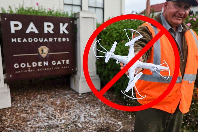
Basically, no. The National Park Service (NPS) made it illegal to operate unmanned aircraft in National Parks in August 2014, subject to some exceptions.
“Unmanned aircraft” includes all types of devices that meet this definition (e.g., model airplanes, quadcopters, drones) that are used for any purpose, including for recreation or commerce.
The ban covers National Parks, monuments, historic sites, battlefields, seashores, biking trails, walking trails, rivers, and other places run by the NPS. For example, the Grand Canyon National Park does not allow recreational use of unmanned aircraft by the public.
Going against the prohibition can lead to a $5,000 penalty and six months in prison. A tourist was penalized for flying a drone into Grand Prismatic Spring located in Yellowstone National Park in 2014.
If you see an opportunity to fly in a National Park, get in touch with the the Park Superintendent to see if there any exceptional circumstances you could use.
At the last call you can legally fly into a National Park as long as you do not takeoff or land on park property – but you will still need to keep the plane or drone within line of sight.
Click on Link 5 at the end of this article for further detail.
Can I fly an RC Plane or Drone in a National Forest?
You can fly an unmanned aircraft for recreational purposes in a National Forest, subject to certain exceptions. Check with the Rangers of the forest you intend to visit.
With 154 National Forest and grassland sites covering nearly 190 million acres in the US, there is more space available than in National Parks.
Check out the nearest location to you at the National Forest website at Link 6, at the end of this article.
Can I Fly My RC Plane or Drone in State Parks?
Maybe, but you need to check on their website, or with a Park Ranger if it’s allowed.
Can I Fly My RC Plane or Drone On a Beach?
You may be able to fly your RC plane or drone on a beach, but you will need to check local State laws, as these vary. Remember, the more people around the area in which you want to fly, the more likely it is that you will be seen as a nuisance and reported.
One way to check is yo use the FAA’s B4UFLY app, which is note above.
Private Land
If you’re lucky enough to have a big back yard, or a nearby field, in your ownership, or you know someone who has, then you’ve cracked it. You’ll still be required to observe the national rules, but you probably won’t be worried by local hazards.
Just be careful if it’s private land and you don’t have permission from the owner. The law is unclear about flying over private land, but nevertheless you could find yourself tied up in legal proceedings.
With the rise in popularity of drone flying, people, and land owners in particular, have become more sensitive to privacy issues and in the case of farmers, more protective of their animals.
“No Drone” Signage
Finally, if you see the following sign on the land you intend to fly – DON’T FLY!
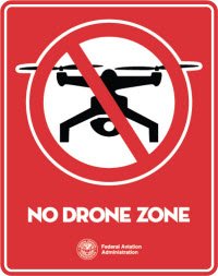
The FAA are offering a free digital toolkit to federal, state, and other partners to educate unmanned aircraft operators that flying in certain areas is prohibited. This toolkit includes No Drone Zone signage.
Assume that means all unmanned aircraft, including RC planes.
